Made with Animaps
See what creators are building with Animaps — animated maps for YouTube, travel, education, and storytelling.
Add borders, flags, routes, cinematic camera movements, and more.
Preview and refine in our live Editor, then export as MP4 or GIF.
Discover France
TravelBorders, regions, cities and rivers — generated from a template in one click
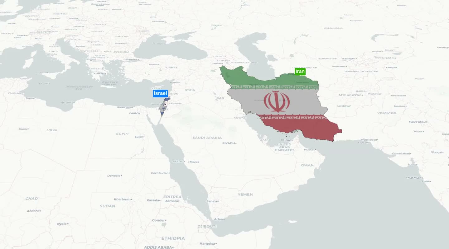
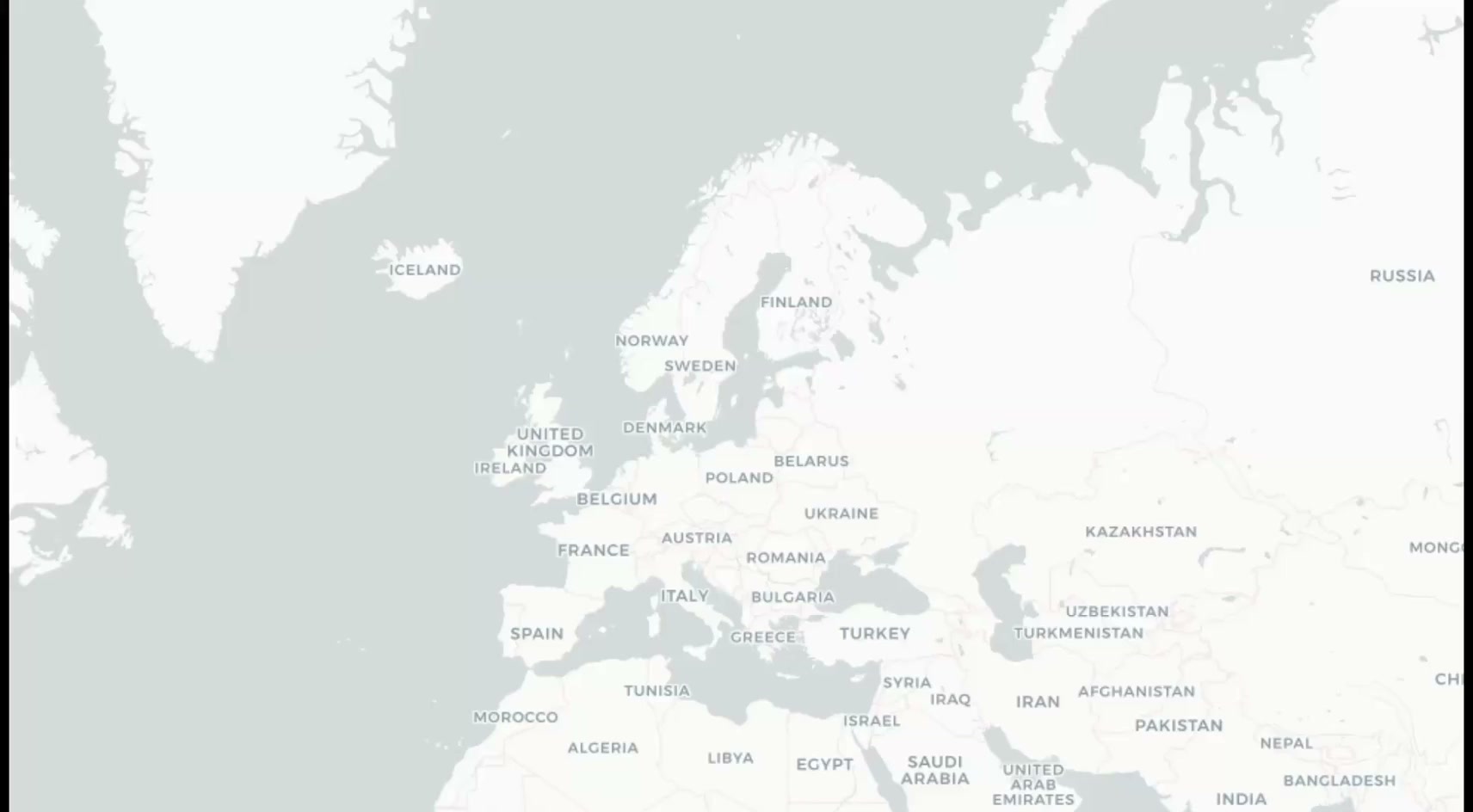
Iran Conflict Map
EducationMilitary operations and geopolitical events visualized on a globe with labels and icons
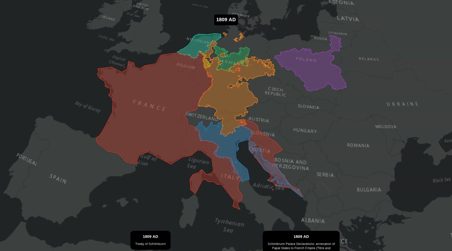
Napoleonic Europe Timelapse
HistoryWatch the French Empire expand and contract from 1804 to 1812 — historical borders animated on a globe
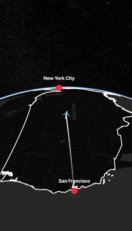
Journey to NYC
UrbanBoroughs, landmarks and aerial views — explore any city with a single template
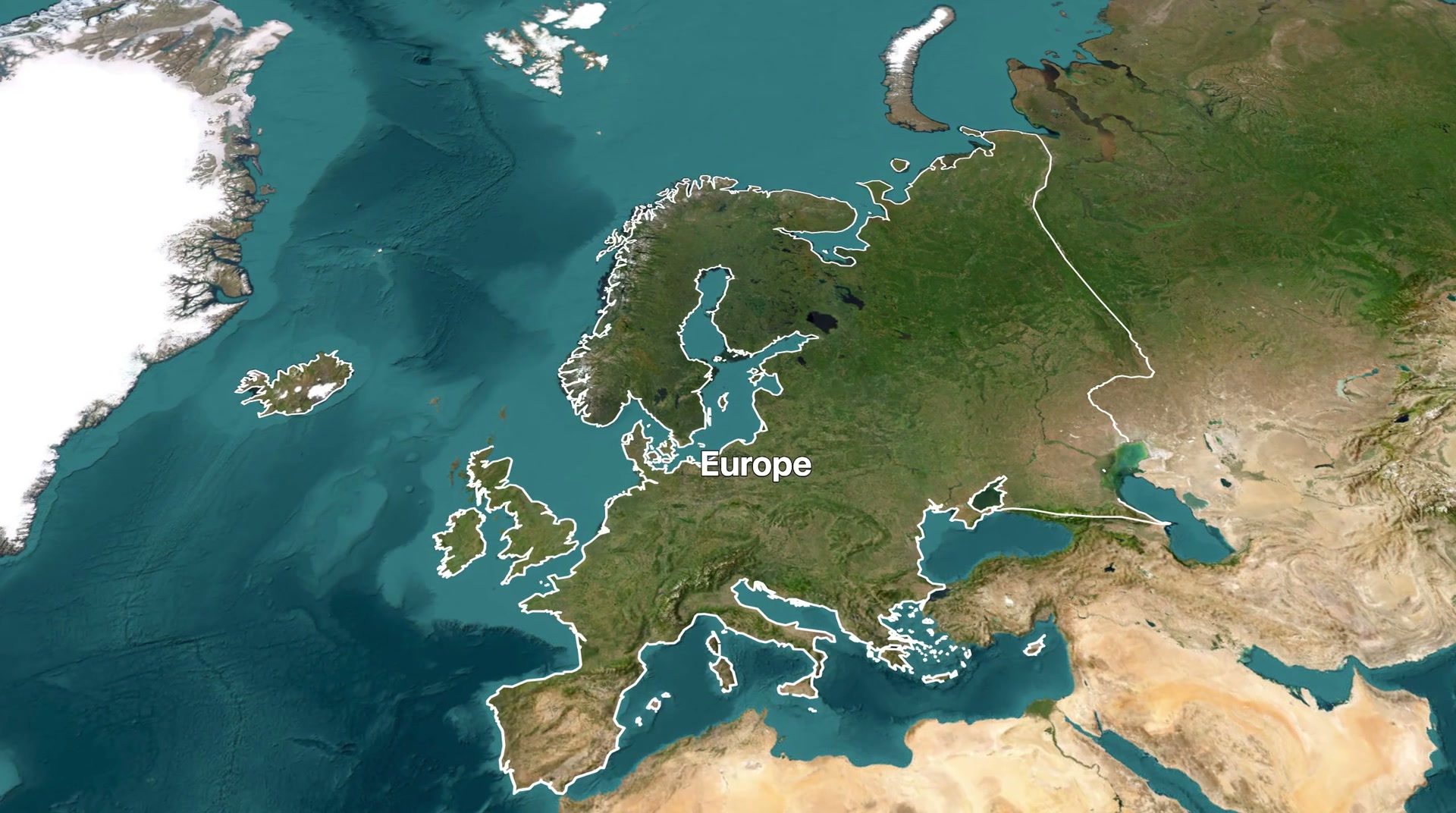
European Journey
TravelExplore multiple European countries with smooth transitions and country flags
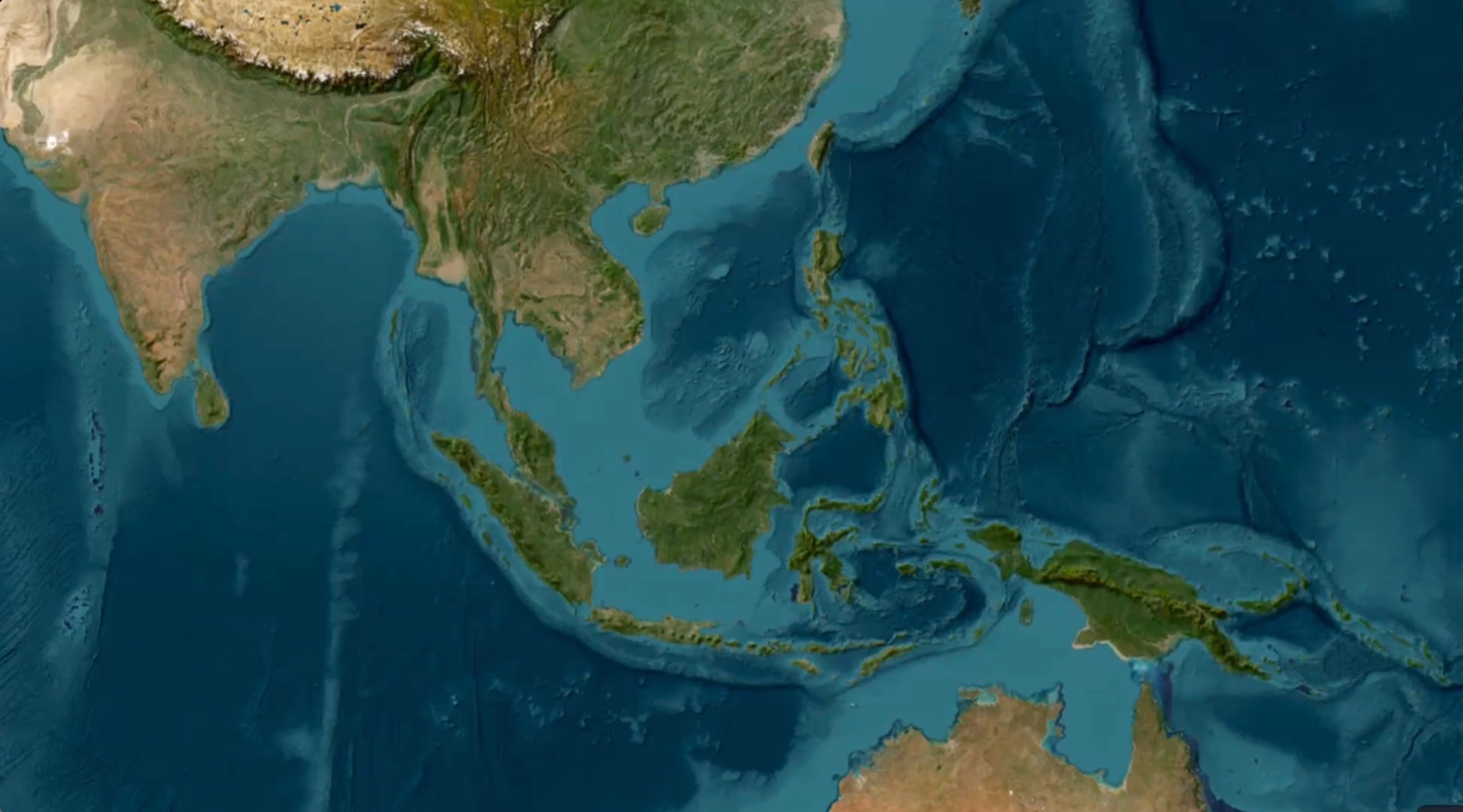
Southeast Asia Adventure
TravelHighlight Thailand, Vietnam, and Cambodia with travel icons
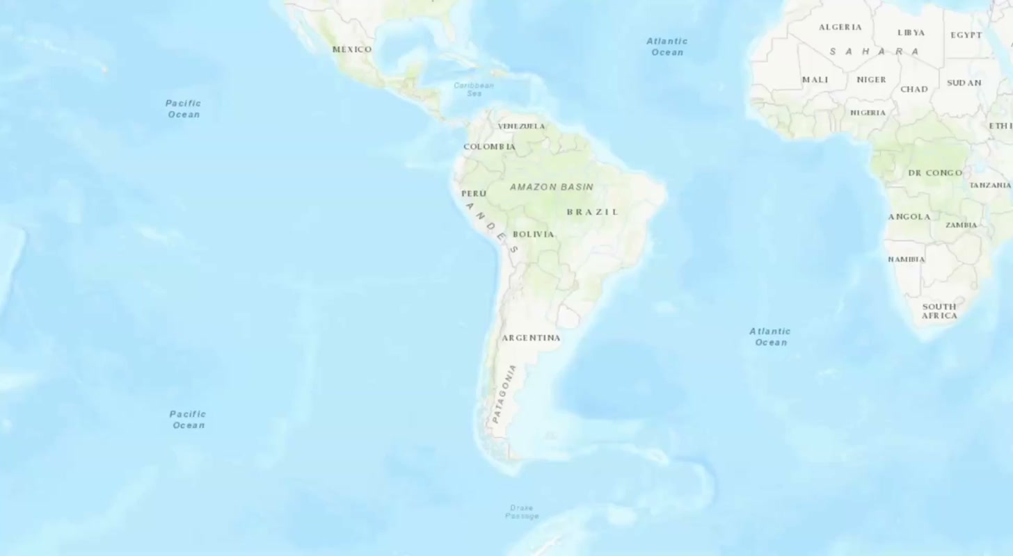
Amazon River Journey
GeographyTrace the Amazon River from source to ocean with environmental highlights
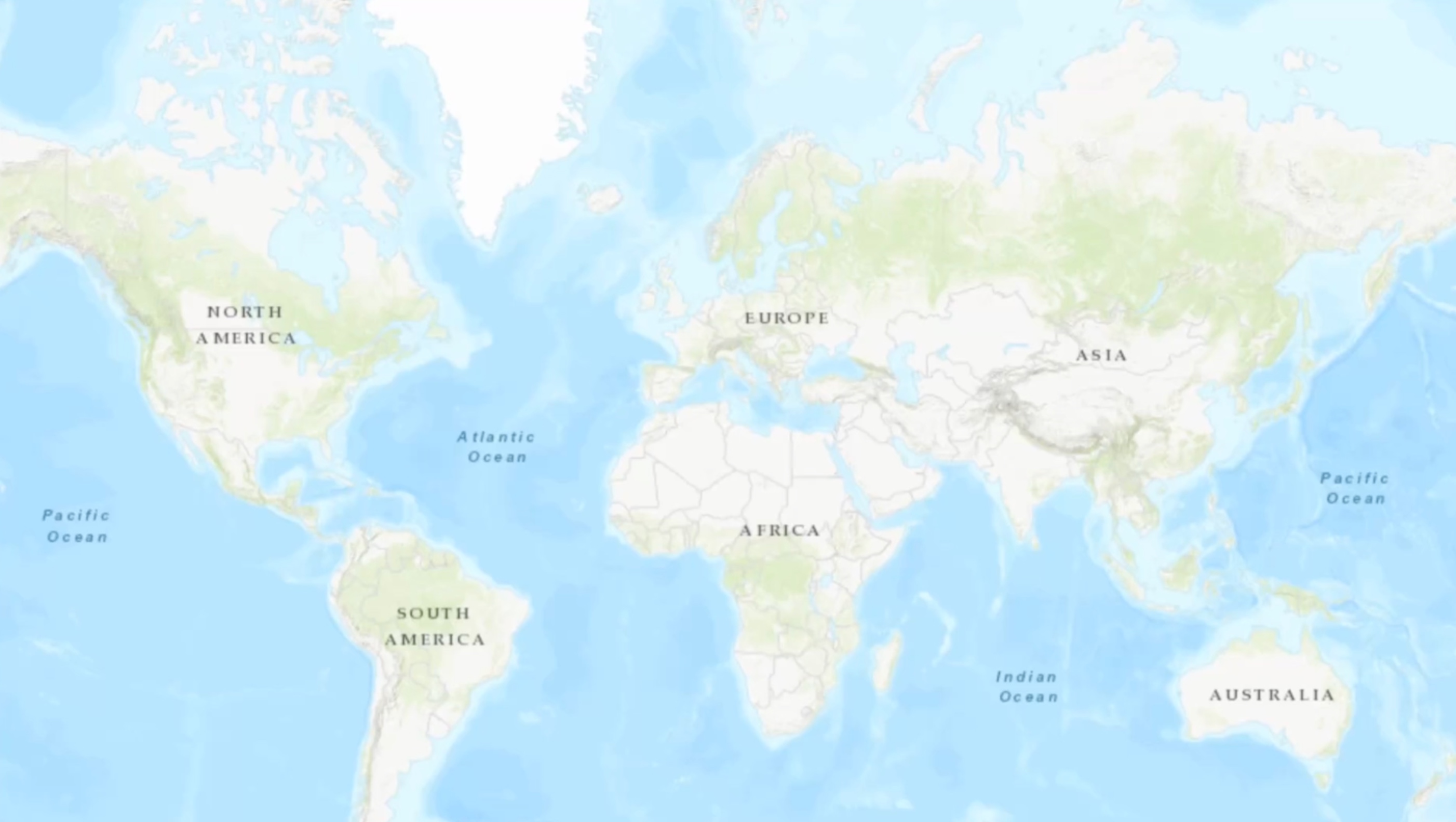
G7 Countries Overview
EducationDisplay all G7 countries with their respective flags
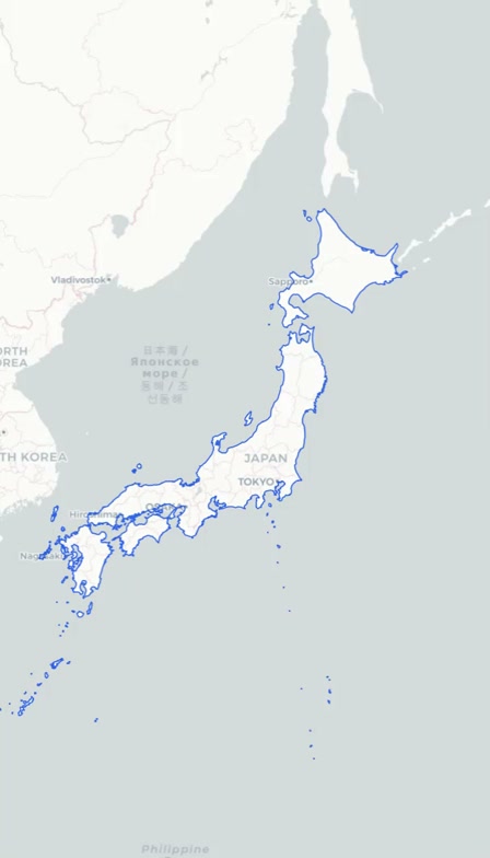
Tokyo City Exploration
UrbanZoom into Tokyo with landmarks and city highlights
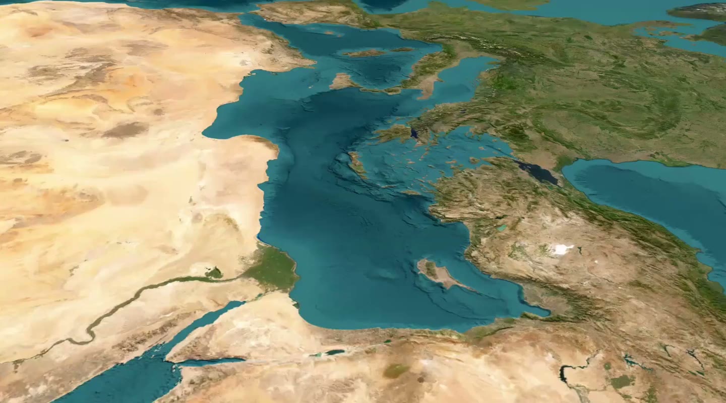
Mediterranean Cruise
TravelShow Mediterranean Sea with cruise route and port cities
Himalayan Peaks
NatureDisplay major mountain peaks in the Himalayas with elevation markers
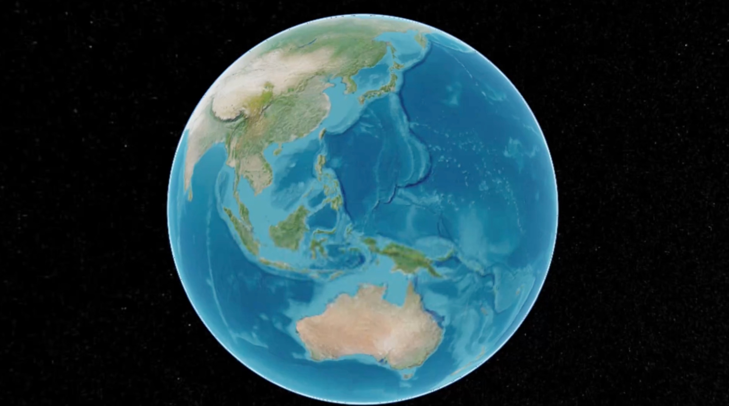
Pacific Ring of Fire
GeographyHighlight volcanic and seismic activity around the Pacific

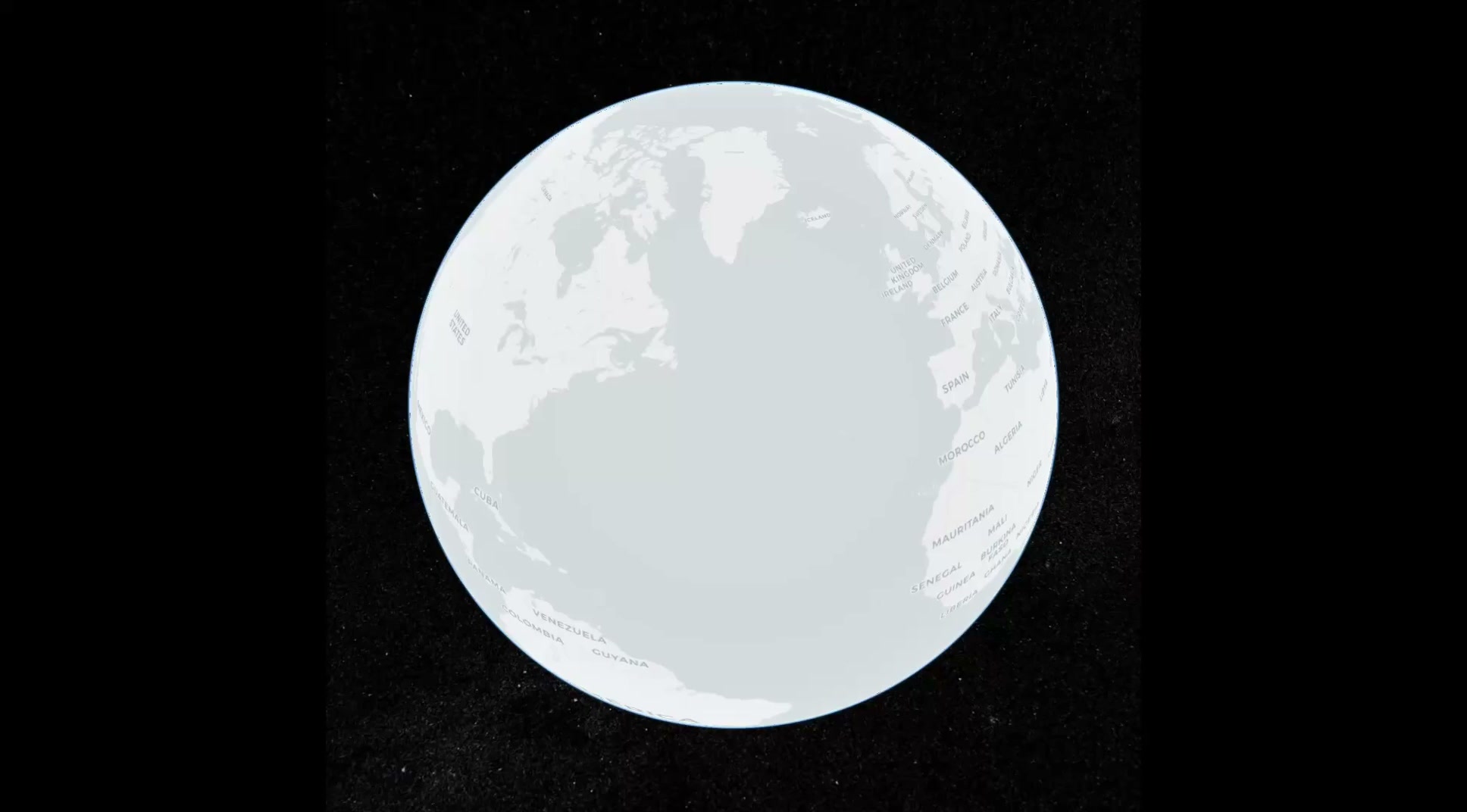
Nordic Countries Tour
TravelExplore Scandinavian countries with their flags and capitals
Ready to Create Your Own?
All these animations were created in minutes using natural language. Start creating your own high-quality map animations today.
Start Free