Powerful Features for Map Animations
Everything you need to create high-quality map animations in minutes
29 Animations
From simple camera movements to complex composite animations, we've got you covered
Camera Movement (Basic)
Camera Movement (Advanced)
Border Animations
Land/Interior Animations
Path-Based Animations
Visual Effects & Overlays
Scenes
Run multiple animations at the same time for cinematic, professional results
Concurrent Execution
Group steps into scenes to run them simultaneously. Fly to a location while filling it with a flag and adding a label — all at once, not one after another.
Shorter Animations
Overlapping camera movement with visual effects cuts your animation time in half. A 30-second sequential animation becomes a 15-second cinematic piece.
Flexible Timing
Add delays between steps in a scene to stagger their start times. Start the camera movement, then reveal the border trace 1.5 seconds later for a natural "arrive and reveal" effect.
Aspect Ratios
Optimize your animations for any platform
16:9
Widescreen
Perfect for YouTube, presentations, and desktop viewing
9:16
Vertical
Ideal for Instagram Stories, TikTok, and mobile-first content
1:1
Square
Great for Instagram posts and social media feeds
High-Quality Export Options
Export your animations in the perfect format for your needs
Formats
- MP4 - Standard video format
- GIF - For short animations (≤6 seconds)
Resolutions
- 1080p - Full HD (included on Free)
- 1440p - 2K (Pro)
- 720p - Draft / faster export
Frame Rates
- 30 FPS - Standard smooth playback
- 60 FPS - Ultra-smooth
Quality Features
- No watermark on Starter & Pro plans
- Broadcast-quality output
- Instant preview before export
Three Creation Modes
Choose the workflow that fits your needs - from AI-powered speed to full manual control
AI Prompting
Full AI Control
Simply describe what you want in natural language. Our AI understands intent, resolves places with DB-first matching, and uses coordinate fallback for long-tail locations.
- ✓Natural language processing
- ✓DB-first location resolution + AI coordinate fallback
- ✓Smart animation sequencing
- ✓Free AI iteration (no credit cost)
Speed: 60-90 seconds from idea to preview
Editor Mode
Full Control
Take complete control over every aspect of your animation. Fine-tune camera movements, timing, and visual effects with our powerful editor.
- ✓Step-by-step control
- ✓Custom camera paths
- ✓Advanced timing controls
- ✓Visual effect customization
Speed: 5-10 minutes for custom work
Templates
Quick & Awesome
Choose from our library of pre-tested, high-quality designed templates. Perfect for quick content creation with guaranteed great results.
- ✓Pre-designed animations
- ✓One-click customization
- ✓Proven results
- ✓Instant export
Speed: 10 seconds from generation to preview
Starting Point & Location Features
Precise control over camera positioning and location handling
Custom Starting Point
Set a custom starting position for your animation. Perfect for establishing shots or when you want precise control over the initial camera state.
- Coordinates: Set exact latitude/longitude for camera center
- Zoom Level: Control initial zoom (1-18)
- Bearing: Set initial map rotation angle
- Tilt: Set camera tilt angle
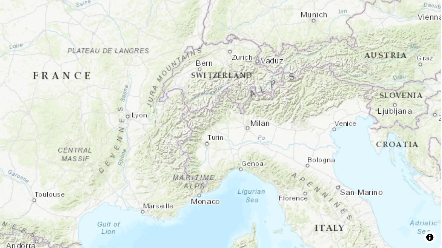
Bounding Box, Coordinates & Camera Pose
When a location is ambiguous, missing, or needs exact framing, use coordinates and bounding boxes to place the camera exactly where you want it.
- Bounding Box: Define area using [west, south, east, north] coordinates
- Point Coordinates: Use [longitude, latitude] for precise positioning
- Camera Pose: Save precise framing (center/zoom/bearing/tilt) for consistent shots across views
- Fallback Support: DB-first lookup with AI coordinate fallback when needed
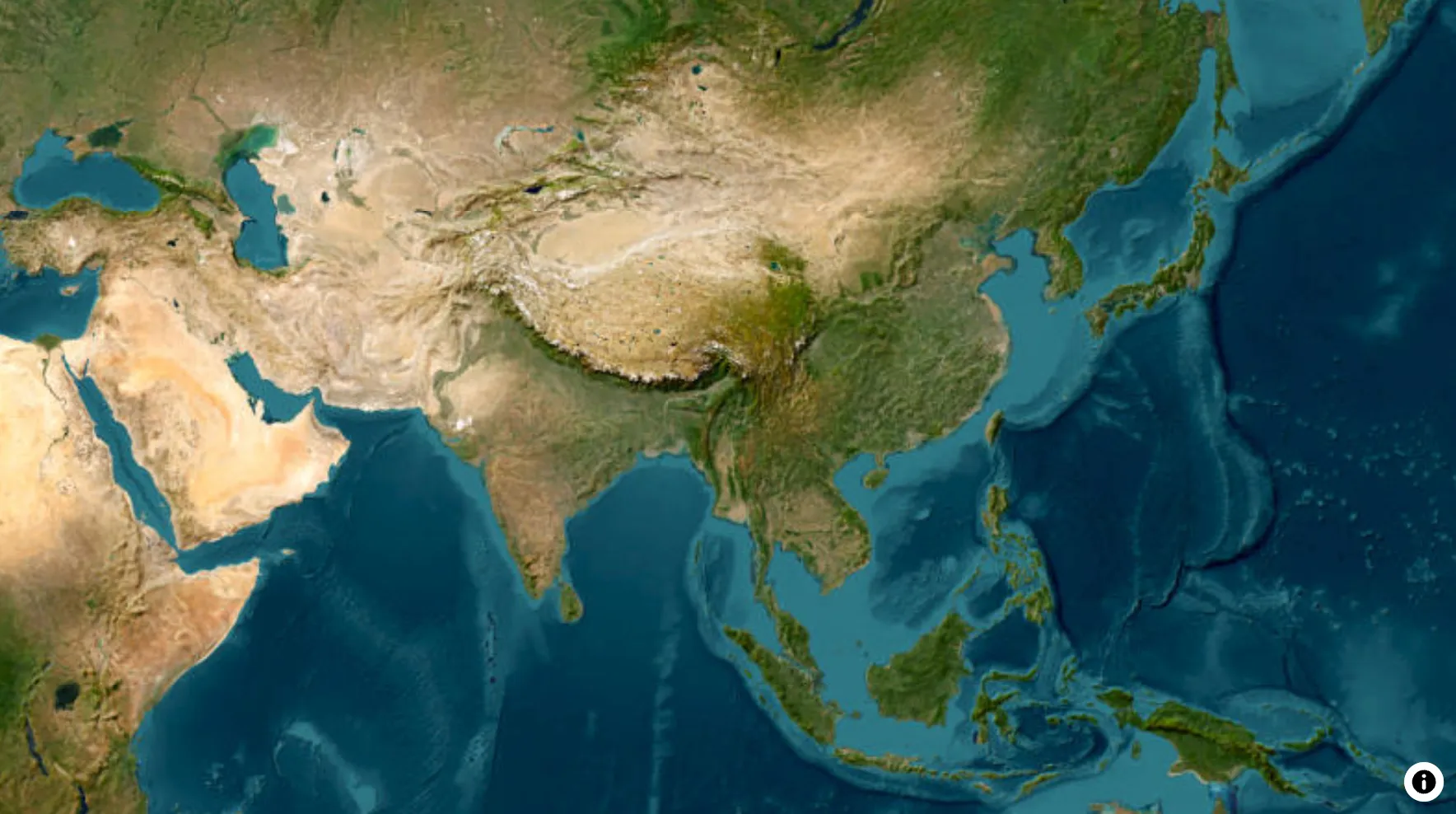
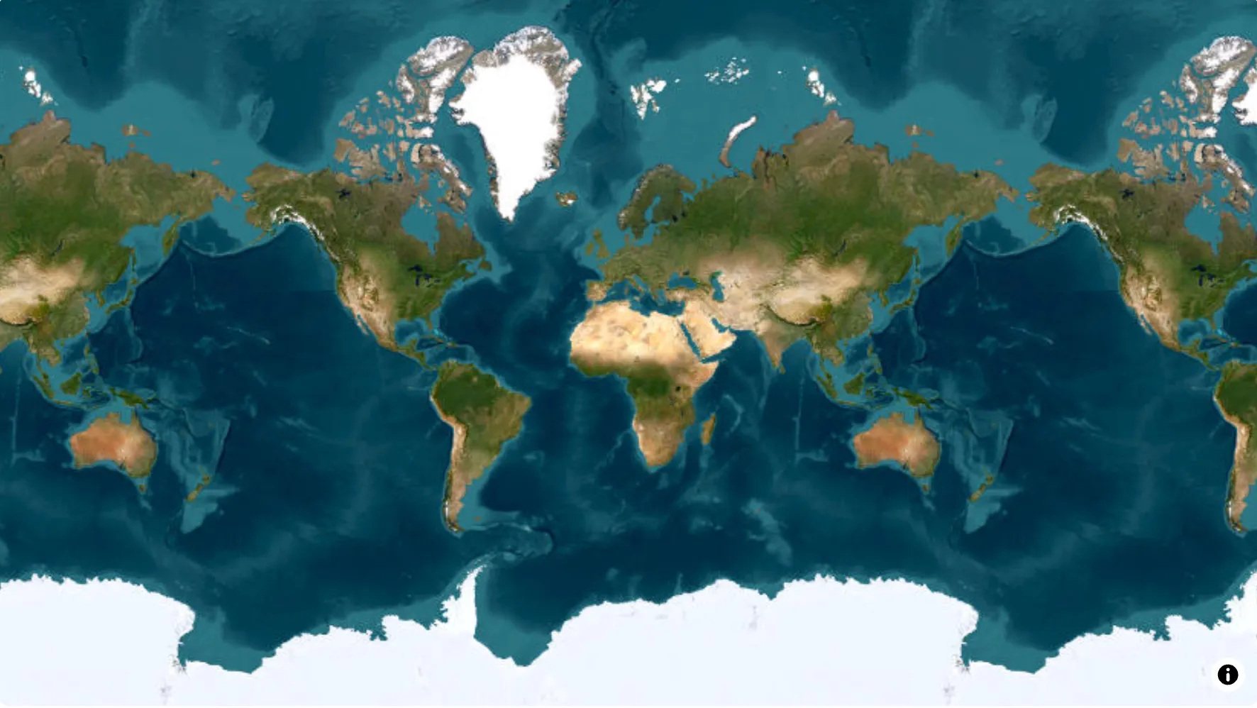
67,000+ Geographic Locations & 5,500+ Historical Entities
Modern geography, country groups, and historical borders spanning thousands of years
Deserts, forests, lakes, mountains, mountain ranges, oceans, plains, parks, rivers, seas
Countries, regions, states, provinces, cities
EU, ASEAN, GCC, Mercosur, Nordics, NATO, BRICS, and more — with continent support
5,500+ empires, kingdoms, states and counties — from ancient civilizations to modern nations
Ready to Create Amazing Map Animations?
Start creating high-quality map animations in minutes with Animaps.ai
Or jump straight into the AI map animation maker to try it without signing up.