History map animation maker
Play the borders of an empire forward year by year, trace a campaign or a trade route, and put the dates on screen. Start from a prompt or from a ready-made empire timeline.
Who it is for
History channels
Empire timelines and campaign maps without keyframing a single border by hand.
Teachers
A border change shown as it happened, for a lesson or a slide deck.
Documentary editors
Map inserts in 16:9, 9:16 or 1:1 that drop into an existing edit.
History map animation examples
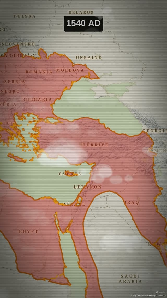
Rise of the Ottoman Empire
Historical borders animated year by year up to the empire's peak extent in 1683.
- Engine:
- Flat
- Map Style:
- Antique
- Aspect Ratio:
- 9:16
Prompt used for this videoshow the Ottoman Empire's growth over time and its peak in 1683
Borders that move through the years
The Historical action is made for this. Pick an empire or a state, and Animaps plays its borders forward through time: one year's shape changes into the next while a counter shows the year. The picker lists how many dated snapshots each entity has, and the length of the action starts from that count, so a long history gets the time it needs.
Two small steps make it read well. Put a Fly to before it, framed wide enough to hold the territory at its largest. Then add a Label with the title, so the viewer knows what is growing while the years run. The Ottoman clip on this page shows the result, next to the prompt that made it.
Empire timelines you can open and edit
The studio comes with finished historical templates, listed further down this page. Each one splits the story into segments with a camera move between them, so the frame follows the territory as it grows and as it shrinks.
A template is a starting point, not a locked video. Open it in the studio, change the fill and border colours, rewrite the labels, give a segment more time or remove it. Then render your own version.
Campaigns, voyages and trade routes
History is also movement. The Route action draws a line between places leg by leg, with a waypoint for each stop: a march, a voyage, a migration, a caravan road. Driving mode follows the roads of today, so for an ancient or medieval route the Air/Direct mode with waypoints is the more honest choice. Maritime mode is for sea legs.
The Draw action adds what no dataset holds: an arrow, a circle around a region, a frontier of your own. Label and Text carry the dates, the names and the quotations.
A look that suits the period
Map styles and themes change the mood without changing the facts. There is an antique atlas map style, and themes such as Vintage Parchment and Medieval Chronicle give routes and labels a matching look. Each theme stays editable.
Historical borders are dated snapshots, and borders drawn before modern surveying are approximate. Sources also disagree. Treat the animation as an illustration and check the key dates and extents against the references you cite.
Templates to start from
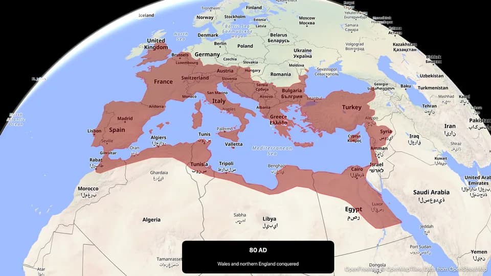
Rise & Fall of Rome
Watch the Roman Republic and Empire expand across the Mediterranean over 900 years.
Open in the studio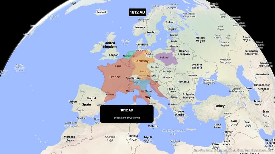
Napoleonic Europe
The French Empire and its rivals clash across Europe from 1804 to 1815.
Open in the studio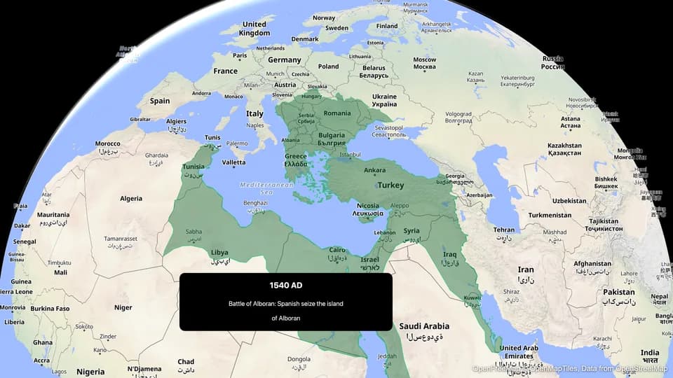
Ottoman Empire
Six centuries of Ottoman expansion and decline from Anatolia to three continents.
Open in the studio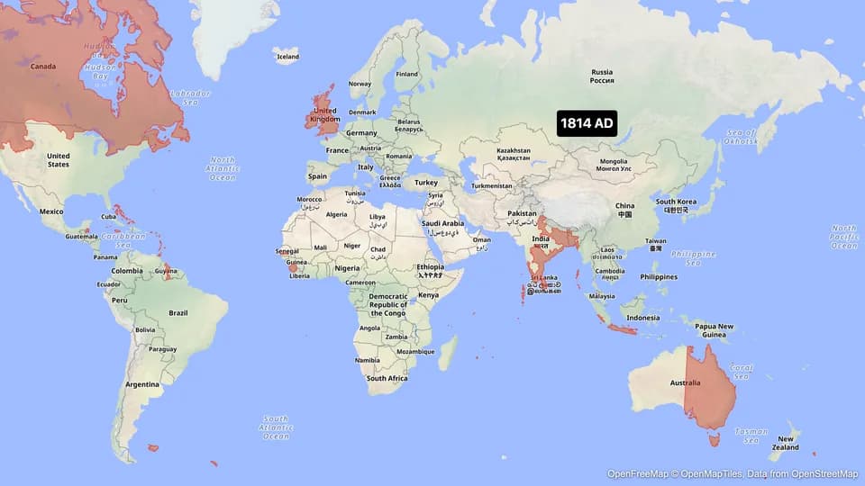
British Empire
The empire on which the sun never set — from 1707 to decolonization.
Open in the studio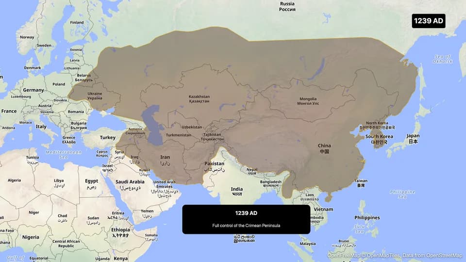
Mongol Empire
The largest contiguous land empire in history — from the steppes to China, Persia, and Europe.
Open in the studio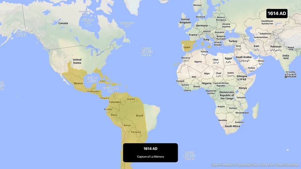
Spanish Empire
From the Age of Discovery to the loss of the last colonies — 400 years of Spanish dominion.
Open in the studio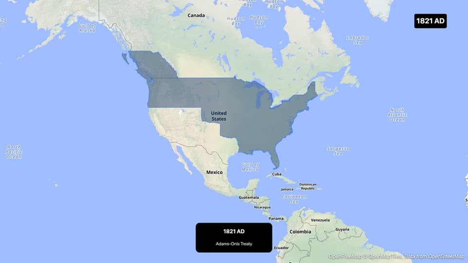
US Expansion
From the original 13 colonies to a continental and Pacific nation — American territorial growth.
Open in the studio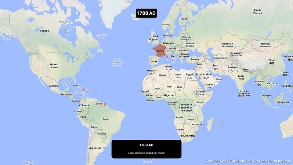
Example prompts to start from
These are starting points to edit, not the prompts behind the clips above. A link opens the studio and starts the generation.
- Show the Roman Empire's growth over timeTry it in the studio
- Show the Mongol Empire's expansion over time, then zoom out to show AsiaTry it in the studio
- Trace a route from Xi'an to Samarkand to Baghdad and add a label at every stopTry it in the studio
- Fly to Egypt and trace its border, then trace the course of the Nile and add labels on Luxor and CairoTry it in the studio
Questions and answers
Which empires and states can I animate?
The Historical action has its own catalogue of empires and states. Search it in the picker, which shows how many dated snapshots each entry has. The templates on this page show the range, from Rome to the expansion of the United States.
How accurate are the historical borders?
They are dated snapshots of the extent of each entity, and the animation moves from one to the next. Early borders are approximate and historians differ, so check the key dates and extents against your own sources.
Can I show the year on screen?
Yes. The Historical action shows a year counter while the borders change. Add a Label or a Text for a title, a date or a quotation of your own.
Can I make a vertical history Short?
Yes. The Ottoman clip on this page is a vertical render. Pick 16:9, 9:16 or 1:1 before you export and the camera frames for it. Exports are MP4 video, or a GIF for clips up to 6 seconds.
Can I make a history map animation for free?
Yes. The Free plan exports 1080p video up to 30 seconds long, with an Animaps watermark. Paid plans remove the watermark and allow longer videos.
Plans and limits are on the pricing page.
Learn the method
More map animations to make
- War map animation
- Travel map animation
- Flight path animation
- Map animation maker: every action and export option in one place
- Demo gallery: more clips, each with its own page