How to Make an Ancient Human Migration Map
Animate how modern humans spread from Africa: dated sites, arrows and routes on a globe, Ice Age land bridges drawn by hand, and honest date ranges.
Animaps Team
Content Creator
How did modern humans spread from Africa to every continent? A map that moves is one of the best ways to show it. This guide shows how to make an ancient human migration map in the map animation maker, with arrows, routes, dated labels and the sites where scientists found the evidence.
TL;DR
Short version: There are no borders in this story, so you build it with lines and labels. Use the Route action in Air/Direct mode, one route per branch of the journey, with an arrow at the head. Put a dated label on each key site: Jebel Irhoud in Morocco (about 300,000 years ago), the Bab-el-Mandeb Strait, Lake Mungo in Australia, Bacho Kiro cave in Bulgaria, the Bering Strait and Monte Verde in Chile. Draw the land bridges of the Ice Age by hand with the Draw action, because the map shows today's coastlines. Write dates as ranges, and say that scientists still debate them.
Quick links:
- History map animation: what the history tools can show
- Animated route between places: routes with arrow heads
- Draw lines and shapes on a map: for land bridges and arrows
- Add a label on the map: for the dated labels
The Story the Evidence Tells
- About 300,000 years ago: the oldest known fossils of Homo sapiens, found at Jebel Irhoud in Morocco. Other early fossils come from East Africa, for example the Omo Kibish site in southern Ethiopia, at least 230,000 years old. Our species took shape across Africa, not in one spot.
- About 70,000 to 50,000 years ago: most studies place the main spread out of Africa in this window. People may have crossed at the Bab-el-Mandeb Strait into Arabia, or through the Sinai into the Levant. Both routes are discussed. Earlier groups left Africa too, but most people outside Africa today descend mainly from this later spread.
- By about 50,000 years ago: people reach Australia, by boat across open water. Human remains at Lake Mungo are about 42,000 years old.
- About 45,000 years ago: modern humans in Europe. Bacho Kiro cave in Bulgaria holds some of the oldest remains found there.
- About 40,000 years ago: modern humans in East Asia, for example at Tianyuan Cave near Beijing.
- After about 25,000 years ago: people cross from Siberia into the Americas through Beringia, a land bridge that is now under the Bering Strait. Monte Verde in Chile shows people there about 14,500 years ago. Footprints at White Sands in New Mexico may be more than 20,000 years old, but that date is still debated.
- About 1,000 to 750 years ago: Polynesian sailors reach Hawaii and then New Zealand, one of the last large lands people settled.
What the Map Can and Cannot Show
The map in Animaps shows today's coastlines. During the Ice Age, the sea was much lower, by up to about 120 meters at its lowest. Three changes matter for this story:
- Beringia joined Siberia and Alaska.
- Sahul joined Australia and New Guinea.
- Sunda joined much of Southeast Asia's islands to the mainland.
There is no historical border data this far back, and none is needed. All the sites above are in the place search except Omo Kibish, Tianyuan Cave and the Polynesian landing sites. Labels and route stops take coordinates for those, so look up the coordinates in your source.
Plan the Video
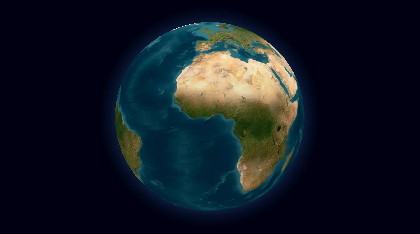
About 55 seconds. A globe works best, because the story covers the whole world.
- Africa: fly to Morocco and Ethiopia, two labels. 8 seconds.
- Out of Africa: an arrow from East Africa across the Bab-el-Mandeb Strait into Arabia. 6 seconds.
- South and east: a route along the coast of South Asia to Southeast Asia and on to Lake Mungo. 10 seconds.
- North and west: a route from the Levant into Europe, to Bacho Kiro. 7 seconds.
- East Asia and the Americas: a route to the Bering Strait, a drawn Beringia, then a route down the Pacific coast to Monte Verde. 14 seconds.
- Wide closing view with all routes and dates on screen. 10 seconds.
Each plan has a maximum video length. If yours is shorter, make it two videos: the spread out of Africa, then the peopling of the Americas.
Step by Step
- Open the studio. Pick the globe. A satellite or a plain light style keeps the focus on the lines.
- Fly to Morocco. Add an icon on Jebel Irhoud and a Label: "Jebel Irhoud, Morocco: about 300,000 years ago".
- Add a Label near the Omo River in southern Ethiopia, placed by coordinates: "Omo Kibish: at least 230,000 years ago".
- Add a Route from Lake Turkana to the Arabian Peninsula, through the Bab-el-Mandeb Strait. Set Route mode to Air/Direct. In Edit route style, pick a dashed pattern, then in the Head tab set Head to Arrow. Label it "About 70,000 to 50,000 years ago".
- Add a Route from the Arabian Peninsula along the coast to Sri Lanka, then Southeast Asia, then Lake Mungo. Up to nine legs fit in one route. Label Lake Mungo: "About 42,000 years ago".
- Add a Route from the Sinai Peninsula to Bacho Kiro cave. Label it: "About 45,000 years ago".
- Add a Draw action with a Polygon for Beringia, between Siberia and Alaska, with a light fill. Label it "Beringia, Ice Age land bridge (approximate)".
- Add a Route from East Asia to the Bering Strait, then down the Pacific coast of the Americas to Monte Verde. Label Monte Verde: "About 14,500 years ago".
- Zoom out so the whole globe is on screen, hold for a few seconds, and export.
A footprints icon at the head of each route, instead of an arrow, gives a softer look for a younger audience.
Prompts You Can Start From
Type a prompt for a first draft, then check every date against your source.
Draw a route with an arrow from Arabia along the coast of India to Southeast Asia and Lake Mungo in Australia, and label Lake Mungo "About 42,000 years ago".
Draw a route from the Bering Strait down the Pacific coast of the Americas to Monte Verde in Chile, labelled "About 14,500 years ago".
Tips for an Honest Map
- Write "about" and ranges. "About 70,000 to 50,000 years ago" is honest. "65,000 BC" is not.
- Show the debate where there is one. A small label such as "date debated" on White Sands or on an early Australian date is enough.
- Show arrows as general directions, not exact paths. Nobody knows the footpath. Dashed lines say "approximate" without words.
- Do not draw one single line out of Africa. There were several waves, and some earlier groups left too. Two or three arrows are closer to the evidence.
- Keep the colors calm. One color for all routes, one for the Ice Age coasts, white labels. The story is already complex.
- Cite your source on the last frame, for example a recent review article or museum page.
FAQ
Can I show the Ice Age coastline in Animaps? Not as built-in data. The map shows today's coasts. Draw the old land bridges with the Draw action and label them as approximate.
Can I animate the spread as a growing area instead of lines? Lines and arrows are the clearer choice here. You can also draw a polygon per period with the Draw action and let each one appear in turn.
Is a globe or a flat map better? The globe, for the whole story. A flat map works well for one region, for example the route from Siberia into the Americas.
Can I use this in class? Yes. Export an MP4 in 16:9 for a projector. For more on teaching with maps, read best practices for educational map animations and the education workflows guide.
For another long journey across the map, see the Silk Road animated map.
Tags
Related reading
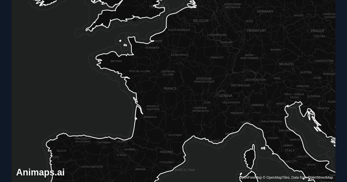
Best Practices for Educational Map Animations
Educational map animations have revolutionized how we teach geography, history, and social studies. When done right, they can transform abstract concepts into visual stories that students remember long after the lesson ends.
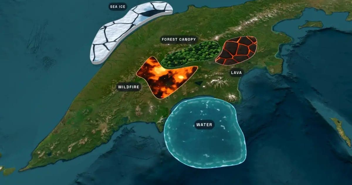
What Is an Animated Map? Types, Uses and How to Make One
An animated map is a map that changes over time in a video: the camera moves, places light up, routes draw and borders shift. Here are the six common types, who uses them, the two ways they are made, and how to make one in Animaps from a single sentence.
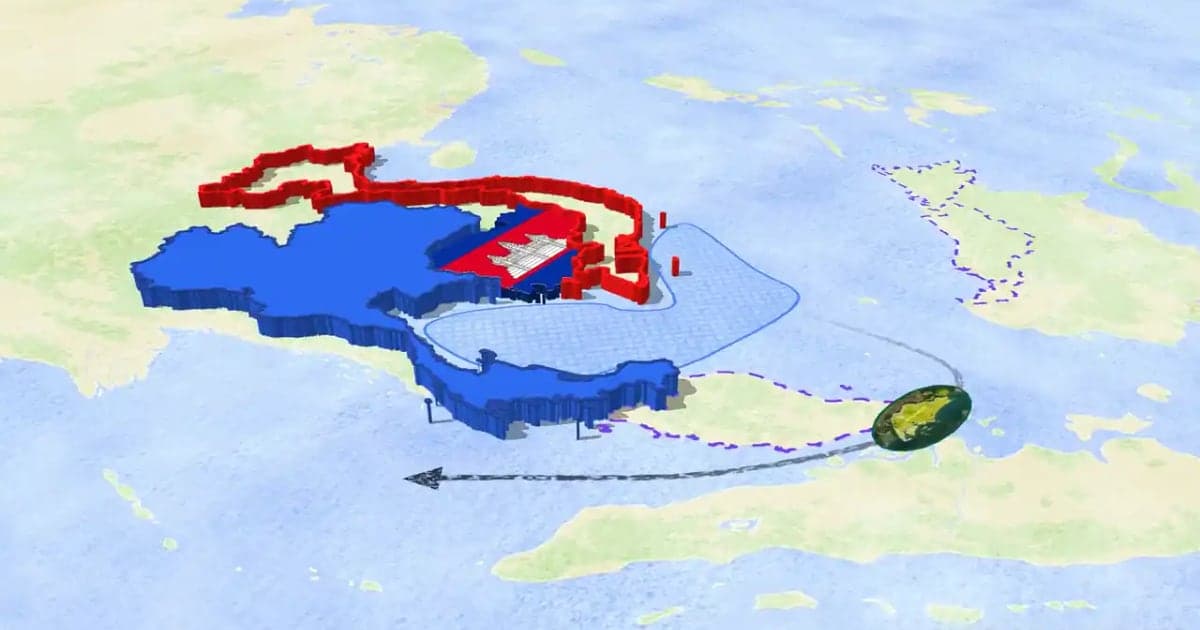
How to Make a 3D Map Animation in Your Browser
A 3D map animation gives the map depth: a turning globe, a tilted camera, raised mountains, a city skyline or a plane model on its route. Animaps does all five in a browser. The globe is on every plan, Free included; 3D terrain and 3D buildings are on Pro.
Browse every article in the Animaps blog.
