Choosing the Right Map Type for Your Story
A glossary of map types matched to story questions: locator, route, highlight, choropleth, border change, conflict, sequence, scale and neighbourhood maps.
Animaps Team
Content Creator
The right map type depends on the question your story answers. "Where is it?" needs a different map from "How did it get there?" or "Who controls what?". This glossary matches common story questions to the map type that answers them, with the Animaps step that builds each one.
TL;DR
Short version: Start from the question, not from the map. Where is it: a locator map with a zoom and a pin. How did it get there: a route map. Which places share something: a highlight map with filled areas. How did borders change: a border change map. What happened, in what order: a sequence map with dates. How big or how far: a scale map with circles or 3D terrain. If your story is about numbers per country, such as GDP or votes, a data chart tool fits better than an animated map.
Quick links:
- First time? How to create a map animation
- The six common types, with videos: What is an animated map?
Start With the Question
Every map answers one main question. If you try to answer three at once, the viewer reads none of them.
Glossary of Map Types
Locator map
Answers: Where is it?
A locator map shows one place inside a bigger area: a town in its country, a building in its city. In video, it is usually a zoom: the camera starts wide and flies down to the place, then a pin and a name appear.
Build it with: Fly to, then Label or Icon. See map zoom animation.
Route map
Answers: How did it get from A to B?
A route map draws a line between places, often with a moving icon at its head: a plane, a car, a ship. It suits trips, trade routes, migrations, supply lines and flights.
Build it with: Route (Air, Car, Sea, Rail, Bike or Walk mode), or Draw for a line you place by hand.
Highlight map
Answers: Which places are part of this?
A highlight map fills a set of countries or regions in one colour: the members of an alliance, the countries a band toured, the states that border a sea. In video, the fills can arrive one by one.
Build it with: Land (fill a country, region or city), Border (outline it), Shade (darken everything outside it). See the country highlight guide.
Choropleth map
Answers: How much, place by place?
A choropleth colours each area by a number: darker means more. Population density and election results are classic examples. It needs a data table.
Border change map
Answers: How did the borders move over time?
A border change map shows territory across years or centuries: an empire growing, a country splitting, a treaty moving a line.
Build it with: Historical, which draws past borders from 25,400+ historical border snapshots, so you do not draw old borders by hand. See the border animation guide.
Conflict map
Answers: Who attacked where, and who holds what?
Arrows show movements, colours show control, and labels mark key places. News and history channels use it the most.
Build it with: Conquest, Draw (arrows), Land and Label.
Sequence map
Answers: What happened, and in what order?
A sequence map visits places one after another, with a date or a short text at each stop. It suits the spread of an idea, a tour, a series of events or a disease outbreak.
Build it with: Fly to and Text at each stop, Land with a reveal (Sweep, Radial, Inward) to show an area spreading.
Scale and distance map
Answers: How big is it? How far is it?
A circle around a place shows a radius: a blast zone, a 10 minute walk, a flight range. 3D terrain shows the height of mountains and the depth of valleys.
Build it with: Draw (Circle), 3D terrain on Pro, Orbit or Drone for the camera.
Neighbourhood map
Answers: What is around this place?
Lines and pins go out from one place to what is near it: a station, a school, a beach. Real estate and travel videos use it.
Build it with: Fly to, Label, Route or Draw for the lines. Read real estate location video.
Globe or Flat Map?
- Globe: for stories that cross oceans or continents, and for "from space to the city" openings. Globe Spin turns the Earth and lands on a place.
- Flat map: for one country, one region or one city. Distances and shapes are easier to compare.
Many videos open on the globe and end on a tilted flat map.
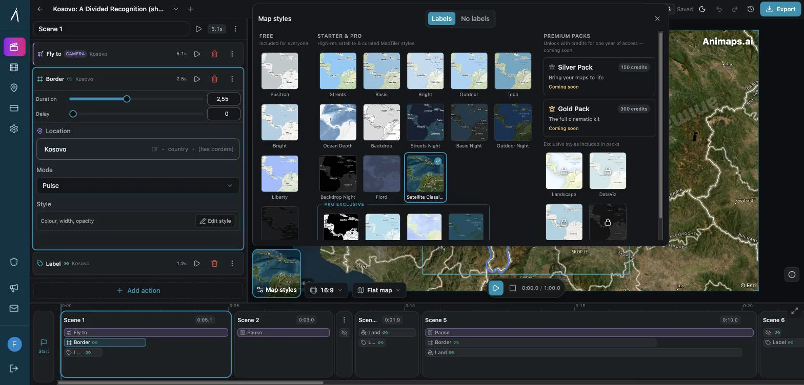
Which Map Style?
The style is the paint under your story. It changes the mood, not the facts.
- Satellite: real landscapes, coasts and cities. Good for travel and nature.
- Dark: strong colours and labels stand out. Good for news, data and conflict.
- Light: clean and neutral. Good for lessons and business.
- Vintage: old paper look. Good for history.
Animaps has 31 map styles. Pick one and keep it for the whole video.
Quick Decision List
- Write your story question in one sentence.
- Find the matching map type above.
- Pick globe or flat.
- Pick one map style.
- Keep one main colour for the thing that matters, and soft colours for the rest.
To see a locator map and a highlight map in one short video, open this prompt.
FAQ
What is the best map type for a travel video? A route map. A line draws from stop to stop, with a plane, car or boat at its head.
What is the best map type for history? A border change map for territory over time, or a sequence map for events in order.
Can Animaps make a choropleth map from my data? No. Animaps does not import data. You can colour a few areas by hand. For many values, use a data chart tool.
Should I use a globe or a flat map? A globe for long distances and openings. A flat map for one country or city.
How many map types can I use in one video? One main type per scene. A video can move from a locator map to a route map, as long as each scene answers one question.
Keywords: types of maps, choosing a map type, map types for storytelling, which map to use, thematic map types, animated map types
Tags
Related reading
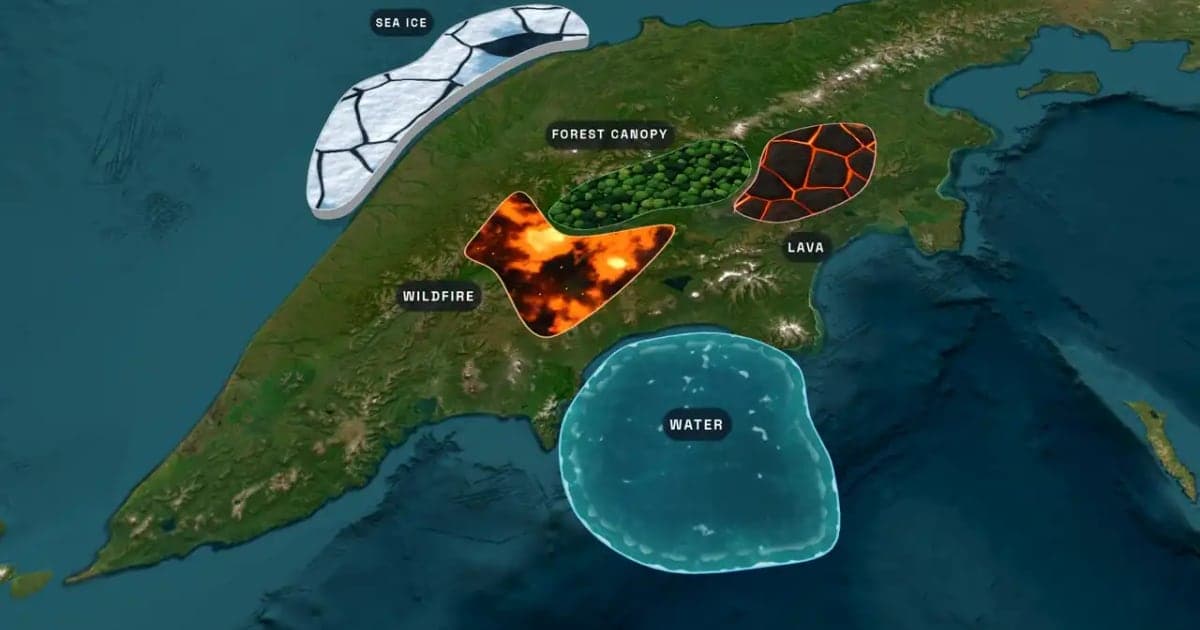
What Is an Animated Map? Types, Uses and How to Make One
An animated map is a map that changes over time in a video: the camera moves, places light up, routes draw and borders shift. Here are the six common types, who uses them, the two ways they are made, and how to make one in Animaps from a single sentence.
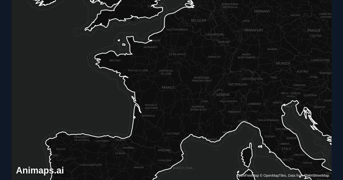
Best Practices for Educational Map Animations
Educational map animations have revolutionized how we teach geography, history, and social studies. When done right, they can transform abstract concepts into visual stories that students remember long after the lesson ends.
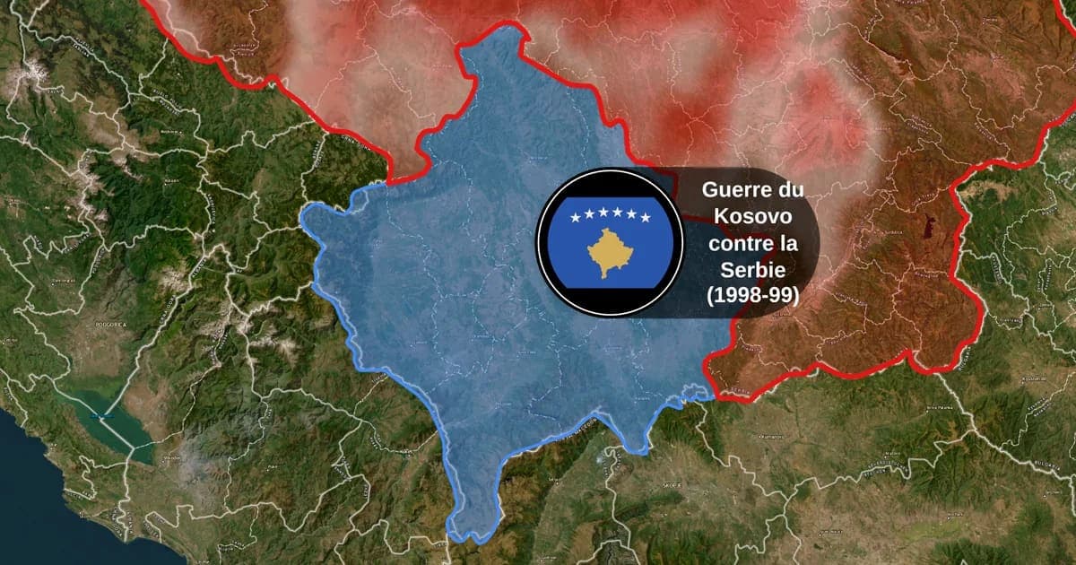
Map Animation Tools: How to Create Animated Maps in 2026
A map animation tool turns a place and a sentence into a moving map video - camera flights, country borders, flag fills, routes, labels - without After Effects, plugins or keyframes. Here is what to look for, and what Animaps does.
Browse every article in the Animaps blog.
