The Scramble for Africa on an Animated Map
Animate the Scramble for Africa, 1880 to 1914: British and French colonial borders over time, a 1914 map by power, and Ethiopia and Liberia labelled.
Animaps Team
Content Creator
The Scramble for Africa is one of the clearest stories a map can tell. In about thirty years, from 1880 to 1914, European powers claimed almost the whole continent. This guide shows how to animate it in the map animation maker, using historical border data and labels, and where the data has gaps.
TL;DR
Short version: Animaps has historical border snapshots for the British, French and Italian colonial empires, plus several single colonies: German East Africa, German Cameroon, Togoland, the Congo Free State, the Belgian Congo and others. You play the British and French empires forward from 1880 to 1914 with the Border timelapse, then build a 1914 map with Historical fills, one color per power. Labels and icons mark the Berlin Conference, the Battle of Adwa and the two states that stayed independent: Ethiopia and Liberia. Some outlines are missing (German South West Africa, Portuguese Mozambique before 1926), so you fill or draw those by hand.
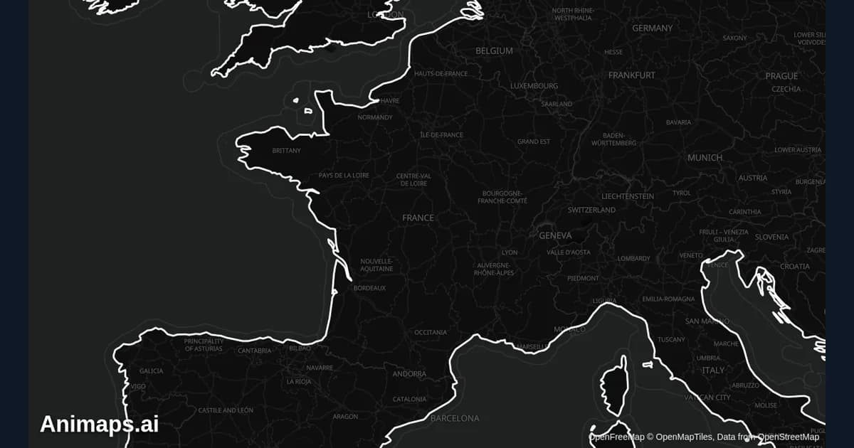
The clip shows the Border timelapse on Europe in the early nineteenth century. The Africa version works the same way.
Quick links:
- History map animation: what the history tools can show
- Animate historical borders over time: the timelapse step by step
- Fill a country or region: fills, including historical fills
- Rise of the Ottoman Empire demo: a finished border timelapse
The History in Short
In 1880, European rule in Africa was mostly on the coasts: French Algeria, the British Cape Colony and Natal, Portuguese ports in Angola and Mozambique, and a few trading posts in West Africa. Most of the interior was ruled by African states and peoples.
Between 15 November 1884 and 26 February 1885, fourteen states met at the Berlin Conference. They set rules for claiming African land, and they recognised the Congo Free State as the personal possession of King Leopold II of Belgium. No African ruler was invited.
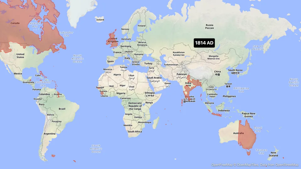
The years after brought fast conquest. France pushed east from Senegal across the Sahel. Britain took control of Egypt in 1882 and later Sudan, and pushed north from the Cape. Germany claimed Togoland, Cameroon, South West Africa and East Africa in 1884 and 1885. Italy took Eritrea and parts of Somalia. Many African states fought back, for example Samori Touré's state in West Africa until 1898.
On 1 March 1896, Ethiopia defeated Italy at the Battle of Adwa and kept its independence. By 1914, only Ethiopia and Liberia were independent.
The story is about conquest, forced rule and borders drawn far from the people who lived inside them. Keep the map factual. Name the powers and the dates, and let the map show the change.
What the Border Data Holds
We checked the historical border data before writing this guide.
- British Empire: hundreds of snapshots, with African events such as the Bechuanaland Protectorate (1885), the Rhodesias (1890 to 1900), the claim on Sudan (1899) and the Northern Nigeria Protectorate (1900).
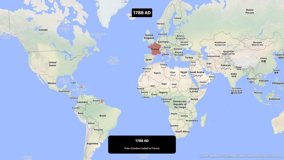
- French Colonial Empire: snapshots almost every year from 1880 to 1914. Tunisia (1881), French Congo (1882), Dahomey (1894), Madagascar (1897), Chad (1900), Mauritania (1904) and the Morocco protectorate (1912) all appear as events.
- Italian colonial empire: Eritrea (1882 onward), Somalia (1889 onward), and Ethiopia from 1936.
- Single colonies: German East Africa, German Cameroon, Togoland, the Congo Free State (1885), the Belgian Congo (1908), Anglo-Egyptian Sudan (1899) and the Spanish protectorate in Morocco (1912).
The global empires (British, French) cover the whole world. When you frame the camera on Africa, only their African parts are on screen. That is what you want here.
Plan the Video
About 45 seconds, in five parts:
Swipe sideways to see the whole table.
| Part | What is on screen | Length |
|---|---|---|
| 1. 1880 | A label with the year over a wide view of Africa | 4 s |
| 2. Berlin, 1884 to 1885 | Fly to Berlin, label the conference, fly back | 7 s |
| 3. The empires grow | British and French empires, 1880 to 1914, two timelapses one after the other | 18 s |
| 4. Africa in 1914 | Historical fills for each power, one color each, with a legend in labels | 10 s |
| 5. Ethiopia and Liberia | Pins and labels, Adwa 1896 | 6 s |
Each plan has a maximum video length. If yours is shorter, cut part 2 or make two videos. The pricing page lists the length of each plan.
Step by Step
- Open the studio. Pick the flat map. A muted style keeps the colors of the empires readable. The Antique style, a Pro style, gives an old atlas look.
- Add a Fly to that frames the whole of Africa, from Tunis to Cape Town.
- Add a Label: "Africa, 1880".
- Add a Fly to Berlin, and a Label: "Berlin Conference, 1884 to 1885". Fly back to Africa.
- Add a Border timelapse. In the New historical window, search "British Empire". In the Timeline section, set the Period from 1880 to 1914. In the list of border changes, leave out the ones outside Africa (Pacific islands, Chinese ports) so the year counter does not stop on changes nobody can see.
- Click Edit timelapse style and pick a color for Britain. Keep that color to the end.
- Add a second Border timelapse for "French Colonial Empire", same Period, a second color.
- Build the 1914 map with Land steps. Set the source to Historical, then pick the British Empire, the French Colonial Empire, the Italian colonial empire, German East Africa, German Cameroon, Togoland and the Belgian Congo, each at its snapshot closest to 1914. Use the same color per power.
- For the gaps, fill modern Namibia for German South West Africa, and modern Angola and Mozambique for the Portuguese colonies. Add a small label: "modern borders shown". That keeps the map honest.
- Add pins and labels on Addis Ababa ("Ethiopia, independent, Adwa 1896") and Monrovia ("Liberia, independent since 1847").
- Preview, fix the timing, and export.
Prompts You Can Start From
Type a prompt for a first draft, then check every step against your source.
Fly to Berlin and add the label "Berlin Conference, 1884 to 1885", then fly back to a wide view of Africa.
Put a pin on Addis Ababa labelled "Ethiopia, independent" and a pin on Monrovia labelled "Liberia, independent".
Tips for a Fair and Accurate Map
- Use the names of the time with dates: "Congo Free State, 1885", "Belgian Congo, 1908". Modern country names belong in the closing shot.
- Do not show Africa as empty before 1880. Label a few African states of the time, for example the Sokoto Caliphate, the Asante Empire or the Kingdom of Buganda, with their capitals (Sokoto, Kumasi, Mengo near Kampala).
- Say where the data is approximate. Old claimed borders were often lines on paper, far from what any power controlled on the ground.
- Keep the tone neutral. Words such as "claimed", "conquered" and "occupied" are precise. Avoid "discovered" and "explored" for lands where people already lived.
Ideas for a Series
- The partition of Africa, one power per video: Britain, France, Germany, Italy, Portugal, Belgium.
- Independence, 1951 to 1975: fill each country in the year it became independent. Use modern country fills and date labels.
- The Cape to Cairo idea: a Route from Cape Town to Cairo with the British territories filled along the way.
For more on making history videos students can follow, read best practices for educational map animations. For an older empire, see our guide to the Spanish Empire expansion map.
FAQ
Can Animaps show the borders of colonial Africa? Yes, for the British, French and Italian empires and several single colonies. Some outlines are missing, such as German South West Africa. Fill the modern country and label it.
Can I show all European powers in one timelapse? One Border timelapse plays one entity. For several powers, play them one after the other, or build a single year with Historical fills, one per power.
Where do the historical borders come from? From OpenHistoricalMap, a historical map database built by volunteers, with one snapshot per border change. Animaps holds 25,400+ of these snapshots. Check key dates against a history book before you publish.
Can I export a vertical version? Yes. Export in 9:16 for Shorts, Reels and TikTok, or 16:9 for YouTube.
Tags
Related reading
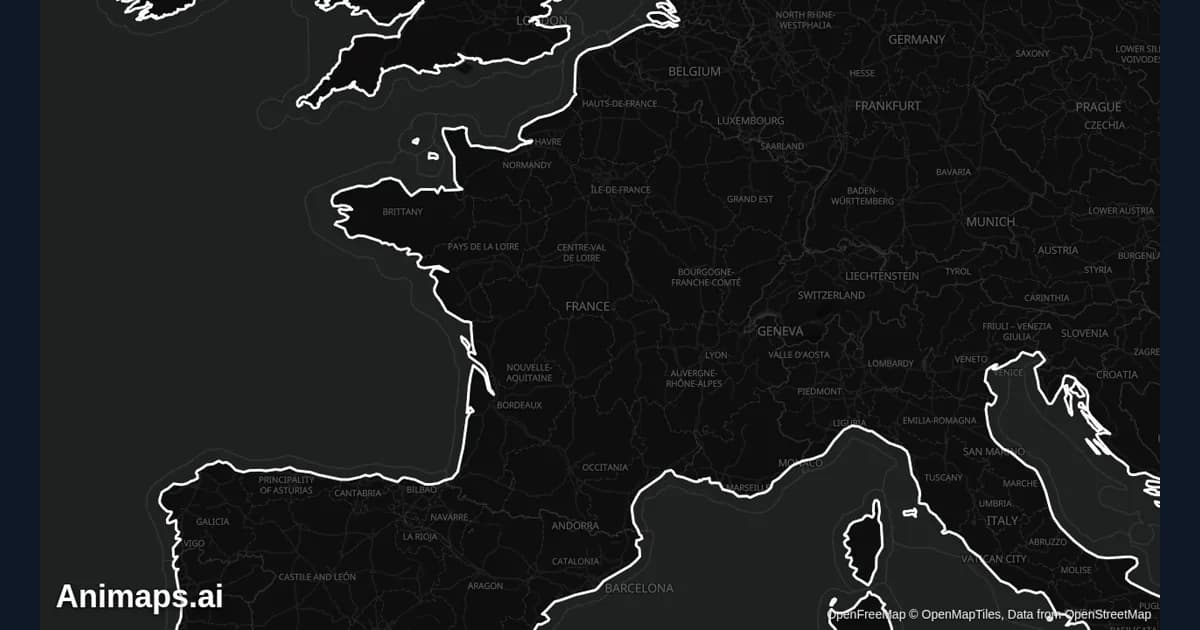
Best Practices for Educational Map Animations
Educational map animations have revolutionized how we teach geography, history, and social studies. When done right, they can transform abstract concepts into visual stories that students remember long after the lesson ends.
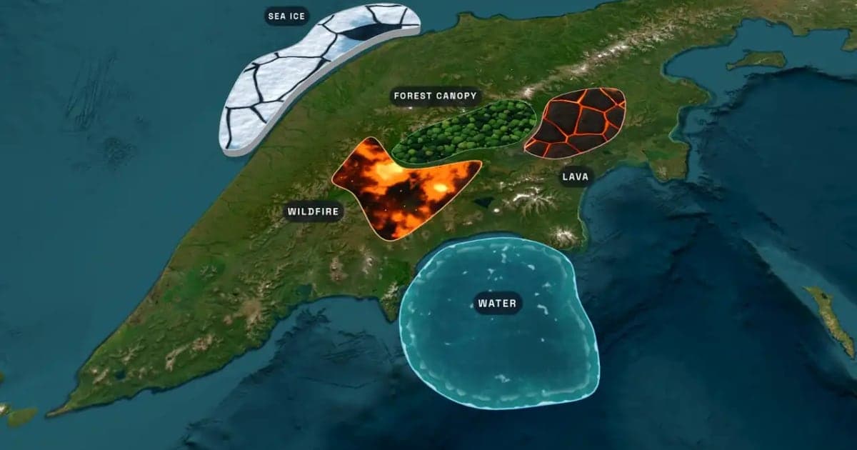
What Is an Animated Map? Types, Uses and How to Make One
An animated map is a map that changes over time in a video: the camera moves, places light up, routes draw and borders shift. Here are the six common types, who uses them, the two ways they are made, and how to make one in Animaps from a single sentence.
How to Create Map Animations for YouTube Videos: The Complete 2026 Guide
Map animations have become the secret weapon of successful YouTube creators. From travel vloggers showcasing epic journeys to educational channels explaining world events, animated maps transform dry geographic information into captivating visual stories that keep viewers engaged. Vox's channel grew from 50,000-150,000 daily views to 1-3 million daily views after they started incorporating more map animations into their content.
Browse every article in the Animaps blog.
